


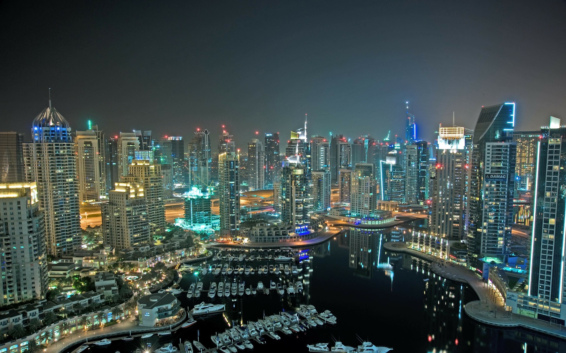


As the world increasingly becomes more digitized, so does the transportation industry. In the past few years, we have all seen an increasing trend of using drones for aerial mapping in transportation infrastructure projects. This is because drones offer many advantages over traditional methods, such as covering large areas quickly and easily and providing high-quality imagery.
Drones are particularly well-suited for railway line inspection projects. This is because they can fly along the length of the track, providing detailed imagery of the track and any potential problems. This knowledge and information can then be used to plan maintenance and repair work.
Several different drone aerial mapping technologies are being used in transportation projects. These include photogrammetry, LiDAR, and thermal imaging. Each of these technologies has its advantages and disadvantages, which need to be considered when choosing a solution for a particular project.
The most common type is photogrammetry, which uses a camera to take images of the ground from different angles. A 3D map is then created by stitching these images together. This method is very accurate but can be slow if there are a lot of images to process.
Another type of drone mapping technology is LiDAR, which stands for Light Detection and Ranging. This system uses lasers to scan the ground and create a 3D map. LiDAR is much faster than photogrammetry, but it is also more expensive.
The last type of drone mapping technology is thermal imaging. This system uses infrared cameras to take pictures of the ground. These pictures can show hot spots or leaks that would be difficult to see with regular cameras. Thermal imaging is less accurate than photogrammetry or LiDAR, but it can be useful in specific situations.
Aerial mapping with drones is revolutionizing the transportation industry by providing a safe and efficient way to inspect railway lines. Drones can quickly and easily take high-resolution photos and videos of hard-to-reach areas, making them ideal for inspecting railway lines.
Traditional inspection methods are often time-consuming and dangerous, but aerial drone mapping provides a safe and efficient alternative. In addition, aerial drone mapping can be used to create 3D models of transportation infrastructure, which can be used for planning and design purposes.
The Benefits of Large Format Aerial Mapping for Transportation Infrastructure
As the global population continues to urbanize, the demand for efficient transportation infrastructure is higher than ever. Large-format aerial mapping with drones is a powerful tool that can help transportation planners and engineers optimize existing infrastructure and plan for future expansion.
Drones equipped with high-resolution cameras can capture detailed images of railways, highways, bridges, and other transportation infrastructure. This data can be used to create accurate 3D models that can be analyzed from multiple angles.
Large-format aerial mapping can help identify potential problems with transportation infrastructure before they cause major disruptions. For example, drones can be used to inspect railway tracks for cracks or vegetation growth that could cause derailments. By identifying these issues early, drone inspection cameras can help prevent accidents and keep the transportation system running smoothly.
In addition to safety, large-format aerial mapping can improve efficiency and capacity planning. Drones can collect traffic patterns and congestion data, which can be used to decide where to add new roads or expand existing ones. This information can also be used to improve public transit routes and schedules.
Large-format aerial mapping is a powerful tool that can significantly impact the transportation industry. By helping to improve safety, efficiency, and capacity planning, it has the potential to revolutionize the way people travel and how goods are traded around the world.
In addition to inspection, drones are also being used for railway line surveying. This helps to map out new routes and track alignments, as well as identify obstacles and hazards that need to be avoided. In turn, this information is used to plan and design safer, more efficient railways that can better withstand weather and daily wear and tear.
The transportation industry is finding drones to be a valuable tool, and they will only become more important in the future. As drone technology continues to evolve, we expect even more innovative applications to help keep our railways running smoothly and safely.
How Aerial Mapping is Used in Drones for Railway Lines
By using drones to inspect railway lines, companies can save time and money while ensuring that the lines are safe and in good condition.
Drones can be used to inspect both the track and the surrounding area for potential problems. For example, a drone can quickly assess the situation and determine which is the best course of action if there is a landslide or other obstruction on the track. Additionally, companies regularly inspecting railway lines with drones can identify potential problems before they cause significant disruptions or accidents.
Overall, aerial drone mapping is a powerful tool that can be used to improve safety and efficiency in the transportation industry. As technology continues to improve, we will likely see even more innovative drone technology applications.
Using drones for railway line inspection is a new and exciting development in the transportation industry. Drones offer a unique perspective for inspecting railway lines and can provide a valuable tool for identifying potential problems.
Drones can inspect railway lines for various purposes, including safety inspections, condition assessments, and capacity planning. Safety inspections are critical for ensuring that railway lines are safe for operation, and condition assessments can identify potential issues that could lead to disruptions in service. Capacity planning is an essential consideration for railways that are looking to expand their operations, and drones can be used to assess the feasibility of new routes.
Drones offer many benefits for railway line inspection. They can access difficult-to-reach areas and provide a detailed view of the line that is not possible from ground level. Drones can also be deployed quickly and easily, making them ideal for emergencies.
Despite the many benefits of drone inspection, some challenges need to be considered. Drones must be operated by trained and experienced personnel, and strict regulations govern their use in many jurisdictions. In addition, bad weather conditions can limit the effectiveness of drone inspection.
Overall, drones are becoming an increasingly important tool for railway line inspection. They provide a unique perspective and can be used to identify potential problems before they cause significant disruptions or accidents. As the technology continues to improve, we will likely see more applications for drone aerial mapping in the transportation industry.
Drone aerial mapping for transportation infrastructure is revolutionizing how railway lines are being inspected. By using advanced technology such as thermal imaging cameras and 3D modelers, drones can help ensure that railway inspection processes are carried out safely and quickly. With improved accuracy, greater efficiency, and cost savings, aerial drone mapping provides an invaluable resource to the transportation industry. As this technology continues to improve over time, it’s clear that aerial drone mapping will continue to play a major role in transportation infrastructure maintenance and management in the years to come.
I am Christine Romeo, a writer and business journalist. I love to write about the latest tech innovations and business trends. I have a background in marketing and communications, so I'm especially interested in how technology is changing the way we do business. When I'm not writing, I enjoy spending time with my family and friends.