


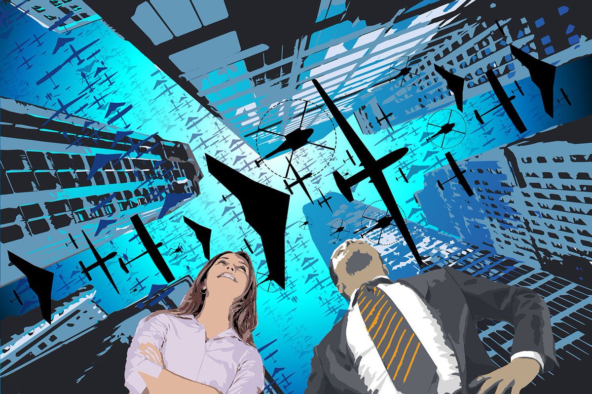
Darren Sheffield from Cloud Vista Studio discusses 5 emerging uses of drones in the commercial world.
Drone usage is on the rise, and Goldman Sachs estimate that in the next 5 years the retail and consumer market for drones will double. However, they also predict the commercial and civil expenditure will be $13 billion by 2020, a huge growth from 2015.
How are the different industries adopting drone technology? We’ll take a look at 5 to see how they’ve been affected
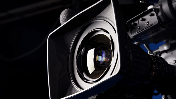
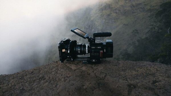
TV & Film
Possibly the most obvious emerging use of drones has been in TV & film, over the last 5 years this has really accelerated and drone footage is extremely common to see in a very wide selection of productions. Helicopters would have been previously used for aerial filming, however, they are unable to get in close to a subject in the same way a drone can, and with a drone, it can be done in one continuous shot. Drones are of course also far less bulky which means a smaller shadow and less air disturbance. Due to far lower costs, it’s also opened up the same aerial filming opportunities to all production companies that before would have been restricted to larger budgets. As drones and camera technology become more advanced we are also now seeing extremely high-quality cameras that can produce cinema grade footage available for under £5000, for example, this short film made by DJI with celebrated Life of Pi cinematographer Claudio Miranda was shot entirely on the new DJI Inspire 2 drone.
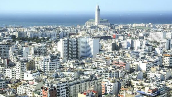
Surveying
Aerial surveying and mapping professionals have been using photogrammetry and LIDAR for a long time now. Traditionally this has been done using a helicopter or plane and because of high costs normally only for projects above an area of 5km square. The introduction of drones to this sector has completely changed that, and so we are now seeing a far smaller barrier to entry. The most common form of mapping with a drone is done using photogrammetry, and the output of this can be an orthomosiac or a 3D model. Because this only requires photographs, the key is the software which allows the pilot to plan the map required and then have their drone flight automated. The software will fly the mission, take the required photographs and then stitch this all together into a 2D or 3D model. Lidar requires a specialist drone or one equipped with LiDAR, and these are more expensive but there are now various options on the market.
Agriculture
Drones are offering a variety of new options for farmers and agronomists to analyse and look after their crops. NDVI imagery that used to be taken from satellites, or from handheld or tractor mounted sensors can now be carried out by a drone. The data gathered and analysis carried out is then used by variable rate technology on equipment such as seeders and sprayers. Drones as an alternative for farmers to capture NDVI imagery can offer lower costs and can capture and process maps quicker than satellites. Specialist drones are also used for crop spraying, such as the DJI Agras MG-1, and these have been shown to be 40-60 times faster than manual spraying.
Inspection & maintenance
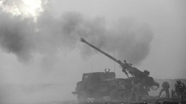
This is one of the biggest areas where drones are making a difference today. Many industrial structures are large, can be very tall, or can just generally be a hazardous environment. For pipeline or wind turbine inspection, a drone fitted with a thermographic camera can be used to find cracks or weaknesses in the structure. The cost savings compared to the current methods used to do these jobs can be large, and for higher risk operations can be far safer. For example using a helicopter to inspect a pipeline or a crew of several people to do a bridge inspection are now potentially replaceable by a drone. For this cost saving reason, businesses will drive this growth onwards quickly, and it’s why the use of drones in the construction industry will be that much bigger than all the rest in the short term future.
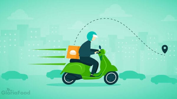
Delivery
The use of drones for delivery is probably the most widely talked about, and the one most of the general public would think of if asked. The reality is that despite the technology existing, the delay will come from how the system will work within the current rules and regulations. There are 2 key areas to overcome. Firstly flying drones beyond visual line of sight (which is not currently allowed), this would then allow drones to fly further distances to deliver the packages. There are now beyond visual line (BVLOS) of site operations regulated, however, this is for surveying and mapping. With most deliveries taking place in heavily populated areas, this won’t be as straightforward. The second barrier is flying a drone close to buildings and people. Current laws are different by country but unless you have a special exception then you have to maintain quite a large distance from people or buildings not under your control. What makes being granted an exception harder is the fact the drone may also be BVLOS, and this combination is going to require a lot of testing and safety mechanisms for it to be granted.
Thanks for reading this article. If you're new here, why don't you subscribe for regular updates via RSS feed or via email. You can also subscribe by following @techsling on Twitter or becoming our fan on Facebook. Thanks for visiting!
1 Comment
Leave a Reply
Cancel reply
Leave a Reply
This site uses Akismet to reduce spam. Learn how your comment data is processed.


Kavya Sharma
December 13, 2016 at 12:02 pm
Thanks for sharing such informative article. Drone technology is on rise and is beneficial for many industries.